Please enter course description here...
NUST eLearning
Search results: 943
Please enter course description here...
- Lecturer: Prof Sylvanus Onjefu
The course aims to provide students with knowledge of the types of different spatial databases. Students will also be able to design a spatial database using FOSS GIS, populate the spatial tables and perform basic spatial analysis. Other areas to be covered include ESRI geo-database types and supported elements, Working with ESRI geo-database subtypes, domains and relationship rules, ESRI geo-database Annotation: Creating, editing, and managing annotation features, ESRI geo-database Topology rules, management and editing and Utility Networks and analysis.
- Lecturer: Erich Naoseb
Category: Department of Land and Spatial Sciences
Please enter course description here...
- Lecturer: Ivonne Makando
- Lecturer: Kaleb Negussie
Category: S1_2026_FEBE_LSS
Theory and practice relating to advanced geospatial analysis, including
· Raster data structures and algorithms for raster information management, extraction and analysis
· Vector data structure and algorithms for vector information management and analysis
· Raster and vector classification measurement and retrieval functions
· Raster and vector connectivity functions
· Raster and vector neighbourhood functions- Geometric, visibility, hydrological, network, environmental and cost/distance analysis, Triangulated irregular networks, digital elevation models and digital terrain models
· Raster and vector overlay functions
- Lecturer: Kaleb Negussie

Enrollment Key: GES512S
- Lecturer: Ryan Benade
- Lecturer: Dr Jennilee Kohima
- Lecturer: Prof Benjamin Mapani
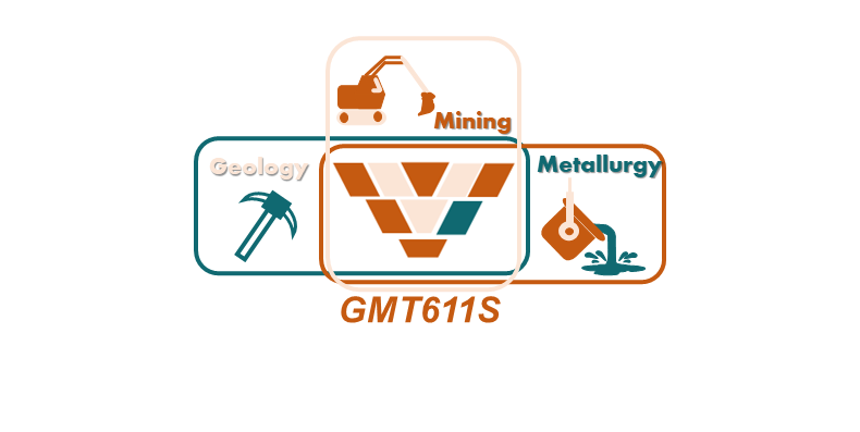
Geometallurgy 214 (GMT611S) is a core course to be completed in the first semester of the second year of study. The aim of the course is to equip students with basic knowledge and skills to develop and optimise flowsheet development to improve mineral recovery.
- Lecturer: Adeltraud Mughongora
- Lecturer: Beatha Nakamela
Category: S1_2026_FEBE_LSS

- Lecturer: Beatha Nakamela
- Lecturer: Markus Hitila
- Lecturer: Prof MalliKarjun Pillalamarry
- Lecturer: Abner Shifula
- Lecturer: Dr Shivaprashanth Kodicherla
Category: S1_2026_FEBE_CMPE
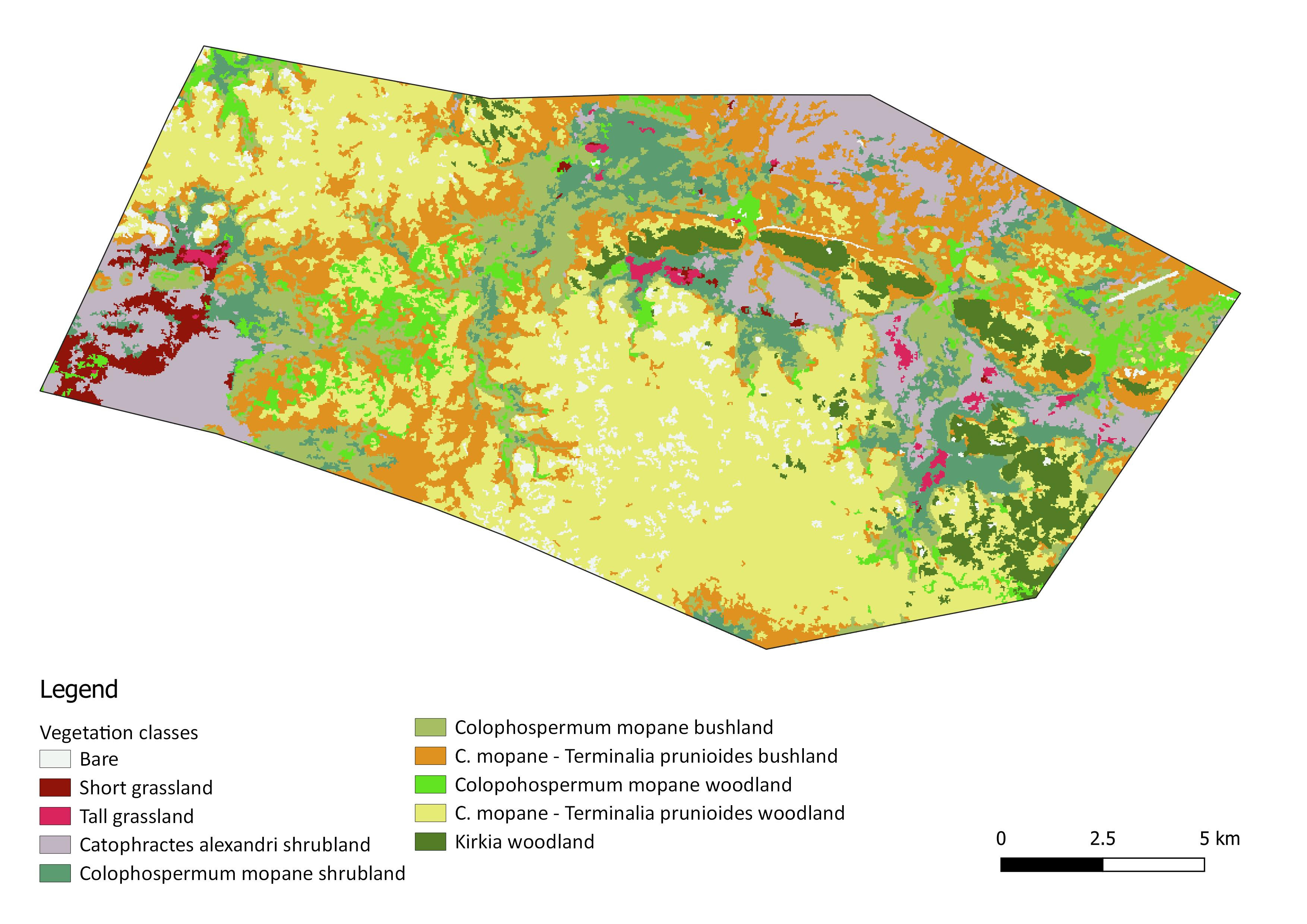
This course aims to give a practical training in the use of a geographic information system (GIS) and remote sensing data for natural resources management and research purposes.
- Lecturer: Prof Vera De Cauwer
The course is designed to enable students to use modelling and Python programming to build GIS tools that automate the solving of geographical problems from a coding perspective.
- Lecturer: Prof Oluibukun Ajayi